
Maine, Are Ready For More? Friday’s Storm Will Be Messy!
So, just when you finally finished digging out from Tuesday's storm, it looks like we are going to get hit again. Although, this one is likely to look a lot different from Tuesday's storm.
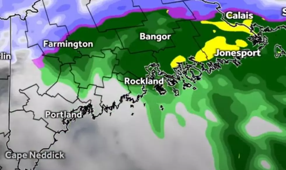
According to WMTW meteorologist Ted McInerney, a rapid moving storm will pass through Maine tomorrow (Friday) afternoon and evening. Unlike Tuesday's storm, this one will be a lot more... slushy!
With temperatures expected to be in the 40s across most of the state, especially along the coast, the storm will roll into the state by late morning with a mix on snow, sleet, and rain. However, by early afternoon, it will have switched to all rain throughout most of the affected area.
But, it is expected that parts of Central Maine (Augusta, Waterville, Lewiston) and the state's western mountains will remain cold enough for any precipitation to fall as snow. Great news for skiers and boarders, there is a good chance the mountains could pick up about 1 to 3 inches of fresh snow.
If you are into skiing and boarding you'll love this - both Saturday and Sunday will be perfect days to hit the slopes. Sunny with highs in the 30s.
Whatever you plan to do this weekend, be safe and have a good time!
KEEP READING: Get answers to 51 of the most frequently asked weather questions...
Have you downloaded our FREE app? You can use it to stream the station, message the DJs, and get breaking local news sent right to your phone. Plus, you can use it to participate in exclusive contests. Just enter your phone number in the box below and we will text you the download link.

More From B98.5