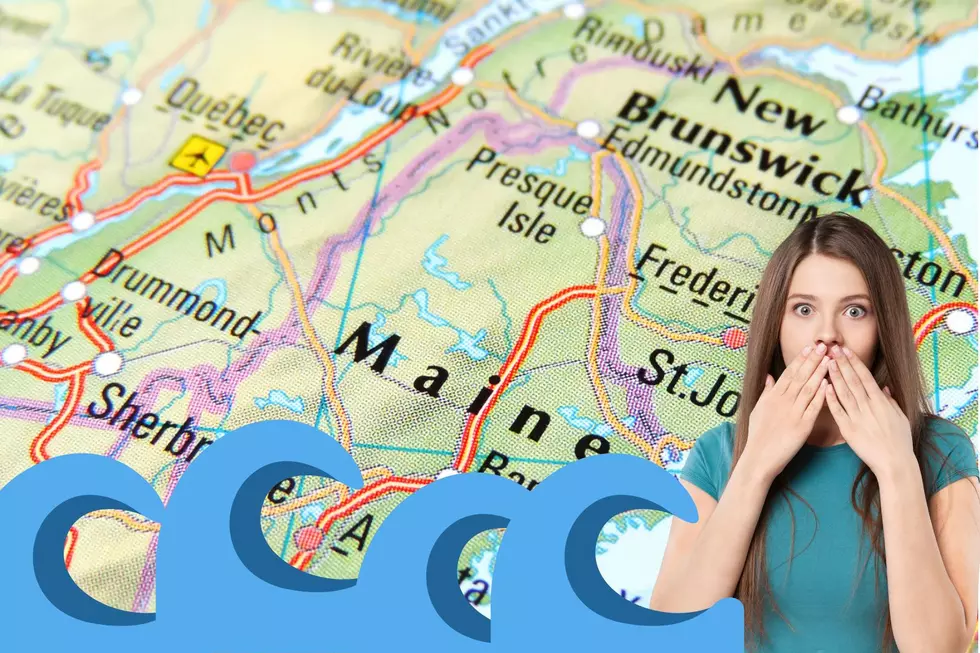
Interactive Map Shows Which Maine Towns Could Be Underwater in 50 Years
Regardless of whether or not you believe in global warming, there is no doubt that we are experiencing significant climate change.
Just a few decades ago, Maine had cold, snowy winters. Unless you were right on the coast, you had to contend with frigid temperatures and snowbanks as tall as a toddler. In recent years, however, our winters have been very mild, with warm temperatures and little snow (except for the occasional storm).
And the storms we have been getting are not typical snowstorms. Instead, they bring high winds and lots of rain.
While these storms have caused damage inland, they have wreaked havoc on Maine’s coast. Places that never used to flood during storms now end up under several inches of water each time there is a storm. If this trend continues, what will Maine’s coast be like in a few decades?
What will Maine’s coastline be like in 2080?
Thanks to modeling done by the team at Climate Central, we can take a look at what Maine’s coastline will be like in the coming decades.
The maps show that notable tourist towns, like Old Orchard Beach and Wells, could end up partially underwater. In fact, the beaches that are the main attraction for those areas will likely end up underwater.
Portland's Munjoy Hill could see the addition of new waterfront real estate.
Many of the well-known tourist destinations in Mid-Coast Maine, like Boothbay Harbor, would end up partially underwater. The massive Popham Beach would likely become a sandbar only visible when the tide was low.
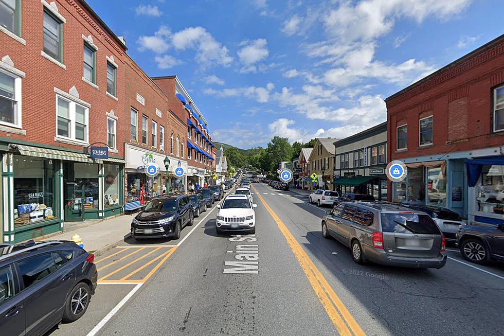
In Central Maine, the east side of Water Street could end up underwater, like they were during December’s ‘Grinch’ storm. In Augusta, the river side of Water Street could face the same fate, and the playground on the east side of the Kennebec River could be turned into a natural swimming pool.
Flooding in the Eastern River could lead to more waterfront property in Pittston.
Unless things change, it looks like the coast of Maine could be in for some unpleasant situations in the coming decades.
It is important to keep in mind that the flooding is based on a rise in sea level, combined with typical seasonal flooding. The kind of flooding that those along the Kennebec River deal with each spring, for example.
You can play around with the interactive map HERE.
Maine's 10 Busiest Airports
Gallery Credit: Chris Sedenka
2024 Maine Agricultural Fair & Festival Dates
More From B98.5