
How Much Snow Is Augusta / Waterville Going To Get On Friday?
If you were watching the weather reports last weekend, you knew that this week's weather was going to take us on a rollercoaster ride. From freezing temperatures, to rain, to a relative heatwave, to more snow.
As you, hopefully, have a chance to enjoy today's mild (warm?) temperatures and sun, you may be wondering just how much snow we are going to get from Friday's storm.
Well, according to The Weather Channel, the Augusta / Waterville area can expect anywhere from 5 to 8 inches of snow. It is going to be chilly and breezy, too. We'll have a high temperature of about 19 degrees.
The good news is that, the way it is looking now, the storm will roll out by the evening.
Much of the mid-coast region can expect a similar amount of snowfall. The Rockland / Camden area will get somewhere between 5 and 8 inches of snow. It will be slightly warmer on the coast and a little bit windier, too. They'll be getting temps of around 23 degrees and winds of up to 25 miles per hour.
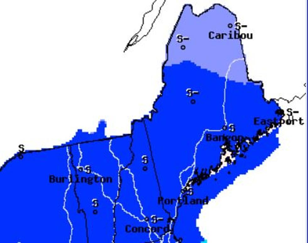
It looks like southern Maine and western Maine are going to see a much bigger impact.
According to WMTW, southern Maine could see up to 10" and parts of New Hampshire could get somewhere in the vicinity of 12".
I know that is going to make some people a little annoyed... But, we'll get through it. It is winter in New England, after all. Just have that shovel ready and take it easy on the roads and you'll be okay.
Do You Remember These 8 Crazy Maine Weather Events?
More From B98.5


